2-Dimensional Drawings for the Future: UPENN Preservation Research
Monica Cortes | Jun 15, 2020
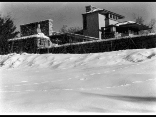
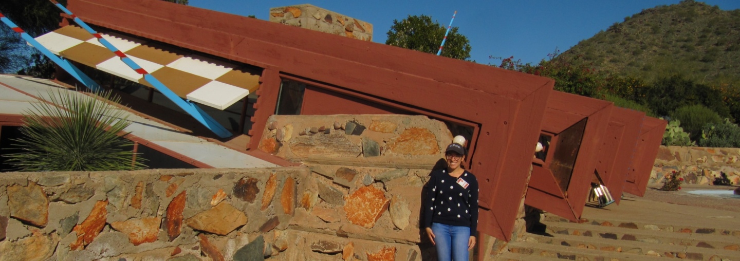
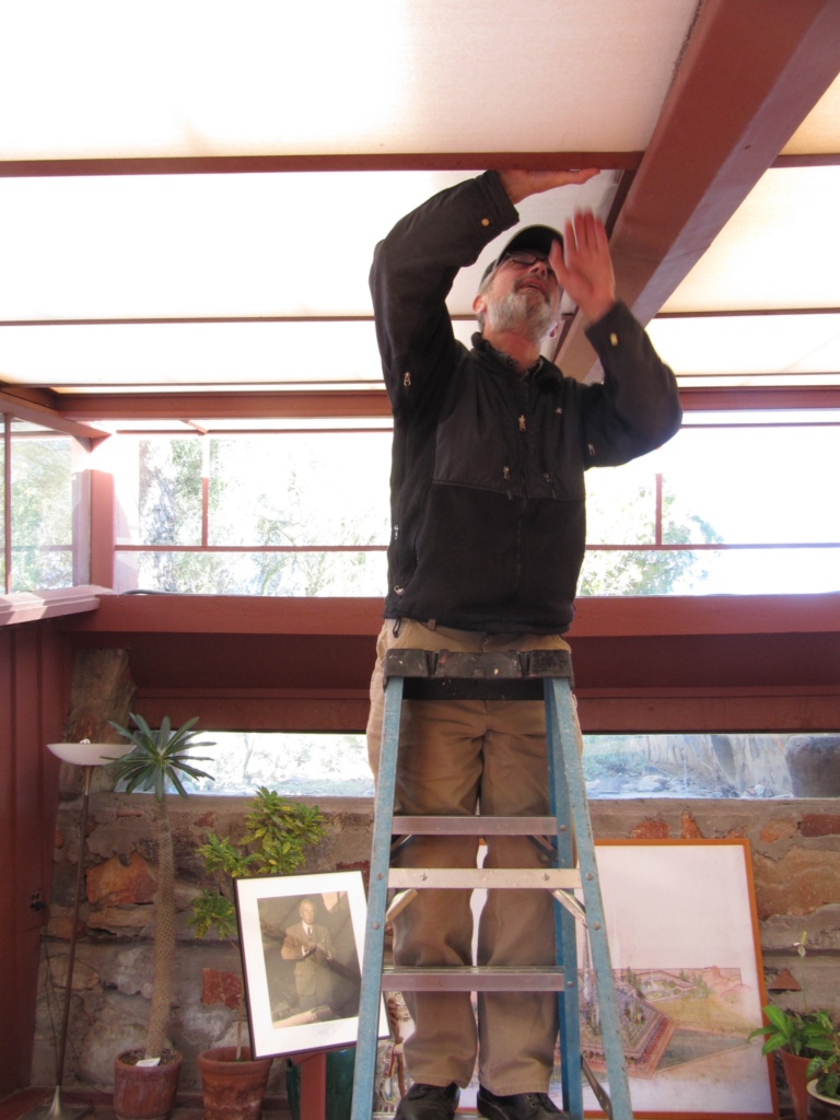
Earlier this year, two students in the historic preservation program at PennDesign, University of Pennsylvania’s Design School, conducted in-depth, on-site research on the historic preservation of Taliesin West, Frank Lloyd Wright’s winter home and desert laboratory in Scottsdale, Arizona. Here, Mónica P. Ortiz Cortés, Assoc. AIA, a native of Puerto Rico, shares some of her findings and insight from the experience.
Documentation and Site Management in Historic Preservation has always been of interest to me and having the opportunity to pursue a thesis about these topics at Taliesin West certainly piqued my interest. I had never visited a Frank Lloyd Wright site before and the buildings at Taliesin West are so unique, when compared to other sites I’ve documented in the past. Being from Puerto Rico I’m more accustomed to Spanish Colonial construction which uses very different approaches than what is seen at Taliesin West.
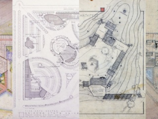
Recording is just one of the many tools that can be used to help inform management decisions. Drawings and images of a building can provide a wide range of information, including evidence of how a site evolved through time. In addition, they can offer a better understanding of the intent of the designer or architect. But two-dimensional drawing, which has been a cornerstone of the recording process, does not always provide the level of information needed for good management decision making.
We live in a world where a major challenge is to get more and more efficient in the way we work. For a long time, we have used two-dimensional drawings as the basis for communication, planning and construction. The Plan of St. Gall is one of the oldest known surviving two-dimensional architectural plans, and some historians consider this 9th Century drawing as the very beginning of the history of blueprints. But we are heading toward a new age where tools and software now allow us to eliminate the use of two-dimensional drawings.
In project planning, parametric design is one of the new major tools to increase project efficiency. To execute this thesis, a three-dimensional model of one of the buildings on-site was constructed with Building Information Management (BIM) capabilities. My intent with this model is to combine existing historic information, such as Historic American Building Survey (HABS) data, with current condition and material data to produce a more integrated method of data management. This model can then function, not only as a digital representation of the site, but also as a searchable database of attributes for each building component now, as well as in the future.
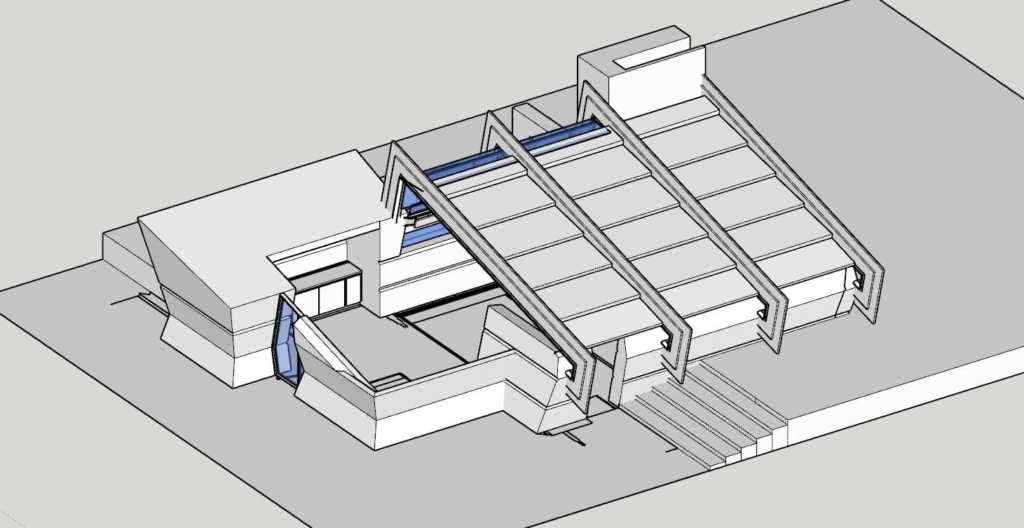
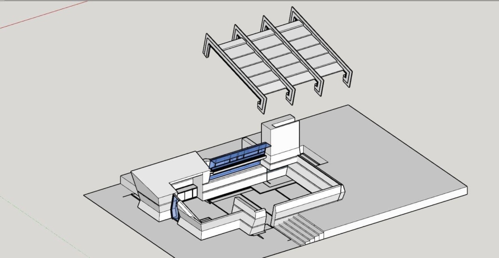
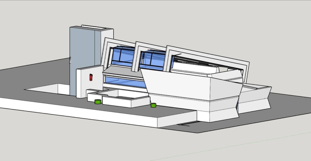
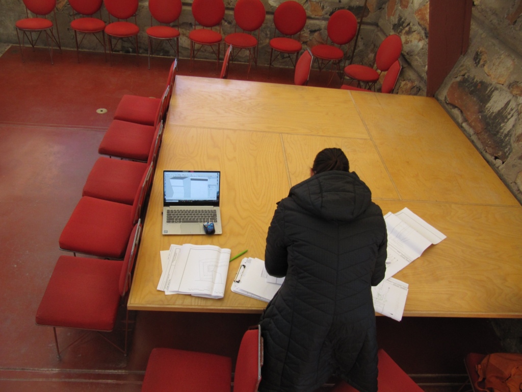
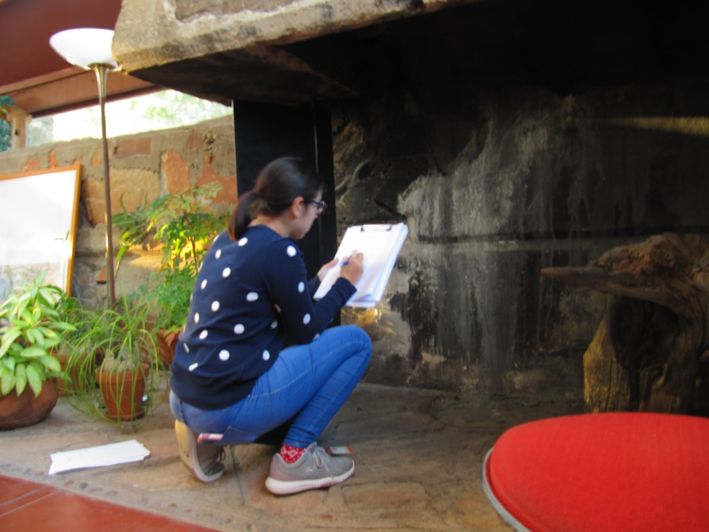
Every site, historic or not, is unique and, therefore, working directly with the people that will be using a constructed methodology like the one proposed, will make for better preservation at all levels. During the first week of January 2020, I had the opportunity to conduct field work at the site, in consultation with the Taliesin management team. My initial work involved acquiring baseline information from existing two-dimensional HABS drawings, but the three-dimensional model I’m constructing showed where those drawings lack vital information.
For example, the fireplace in the HABS drawings did not provide the necessary data to understand the inner chimney space. For Taliesin management those details are important when interventions, or even cleaning, need to take place.
Up to this point, the project has shown me the wide range of management variables that need to be considered. Managing a historic site can be an extremely complex task when you consider all that goes into it. It involves not just interpretation and programming, but also conservation and maintenance of the physical fabric.
Planning needs to be done with knowledge and foresight in mind, since decisions made at all levels can significantly impact a site’s longevity.

